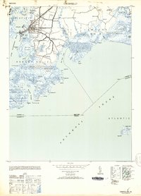
1953 Map of Crisfield
USGS Topo · Published 1953About this map
Crisfield stands as a dense hub of coastal activity at the terminus of the Pennsylvania (Crisfield Br) railroad, serving as the gateway to the lower Chesapeake. This maritime landscape is defined by its intricate network of marshes and water-dependent neighborhoods, including Daugherty Town, Sackertown, and Jersey. The industrial and civic importance of the era is marked by the presence of the Armory and McCready Mem Hospital, while numerous lights like the North Entrance Light and Crisfield Harbor Junction Light navigate the interface between the Little Annemessex River and Pocomoke Sound. Beyond the main settlement, the map reveals a mosaic of tidal lands such as Langford Marsh and Ware Point Marsh, illustrating the delicate balance of the Eastern Shore's amphibious geography during the early 1950s.
Find a feature on this map
71 named features on this map. Tap any name to fly to it.
Don’t see what you’re looking for? This feature index may not catch every label — zoom into the map to look around manually.
Map Details
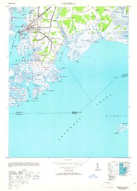
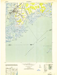
Editions of this 1953 Crisfield Map
3 editions found
Other maps of this area

1903 · Crisfield
USGS Topo · 1:62,500

1903 · Deal Island
USGS Topo · 1:62,500

1920 · Crisfield
USGS Topo · 1:62,500

1942 · Chesconessex
USGS Topo · 1:31,680

1942 · Terrapin Sand Point
USGS Topo · 1:24,000

1942 · Great Fox Island
USGS Topo · 1:24,000

1942 · Marion
USGS Topo · 1:24,000

1942 · Kingston
USGS Topo · 1:24,000

1942 · Tangier Island
USGS Topo · 1:24,000

1942 · Saxis
USGS Topo · 1:24,000