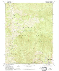
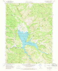
1967 Map of Crockett Peak
USGS Topo · Published 1994About this map
The Eel River and Middle Fork Stony Creek anchor this mid-1960s survey of the high country along the Lake and Colusa County line. This area of the Mendocino National Forest is defined by its steep watercourses and high peaks, including the prominent Crockett Peak and the twin summits of Snow Mountain East and Snow Mountain West. The map captures a landscape dedicated to wilderness preservation and seasonal access, noting remote outposts like Waters Camp and the Milk Ranch.
Find a feature on this map
38 named features on this map. Tap any name to fly to it.
Don’t see what you’re looking for? This feature index may not catch every label — zoom into the map to look around manually.
Map Details
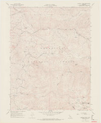
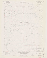
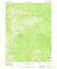
Editions of this 1967 Crockett Peak Map
4 editions found
Other maps of this area

1919 · Elk Creek
USGS Topo · 1:62,500

1922 · Hullville
USGS Topo · 1:62,500

1948 · Elk Creek
USGS Topo · 1:62,500

1951 · Lake Pillsbury
USGS Topo · 1:62,500

1951 · Stonyford
USGS Topo · 1:62,500

1952 · Hull Mountain
USGS Topo · 1:62,500

1957 · Elk Creek
USGS Topo · 1:62,500

1957 · Ukiah
USGS Topo · 1:250,000

1960 · Ukiah
USGS Topo · 1:250,000
1967 · Lake Pillsbury
USGS Topo · 1:24,000