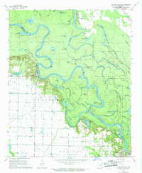
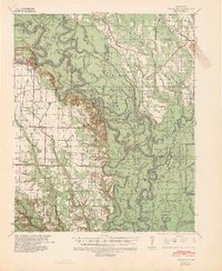
1967 Map of Crocketts Bluff
USGS Topo · Published 1968About this map
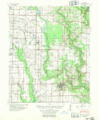
The White River winds through a dense network of oxbows and bottomlands in this 1967 survey of Arkansas County. The river forms the primary geographic spine, separating the developed agricultural fields of the west from the preserved wilderness of the White River National Wildlife Refuge to the east. At the river's edge, the settlement of Crocketts Bluff stands as a focal point for the local community, while further downstream, the town of St Charles anchors the southeastern corner of the quadrangle.
Find a feature on this map
64 named features on this map. Tap any name to fly to it.
Don’t see what you’re looking for? This feature index may not catch every label — zoom into the map to look around manually.
Map Details
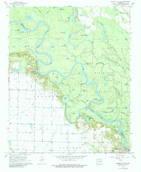
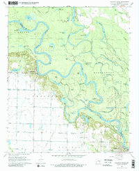
Editions of this 1967 Crocketts Bluff Map
3 editions found
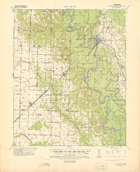
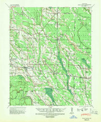
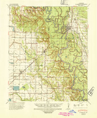
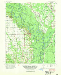
Other maps of this area
1935 · Clarendon
USGS Topo · 1:62,500
1939 · Indian Bay
USGS Topo · 1:62,500
1940 · Holly Grove
USGS Topo · 1:62,500

1941 · De Witt
USGS Topo · 1:62,500
1941 · Clarendon
USGS Topo · 1:62,500

1948 · Helena
USGS Topo · 1:250,000

1950 · Helena
USGS Topo · 1:250,000
1954 · Indian Bay
USGS Topo · 1:62,500
1954 · De Witt
USGS Topo · 1:62,500

1955 · Helena
USGS Topo · 1:250,000