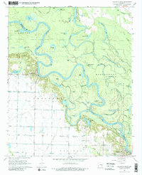
1967 Map of Crocketts Bluff
USGS Topo · Published 1984About this map
Crocketts Bluff sits perched above a dramatic bend in the White River, anchoring a landscape defined by the shifting hydrology of the Grand Prairie and the Arkansas Delta. In the late 1960s, this region was a complex network of oxbow lakes, sloughs, and bayous, including the expansive Maddox Bay and the intricately winding Hill Bayou. The map reveals the vital intersection of agriculture and conservation, where the cultivated fields of Crockett and Prairie meet the dense bottomland hardwoods of the White River National Wildlife Refuge. Traces of rural community life are preserved through the locations of the Hopewell School and Hopewell Church in the south, alongside the Lutheran Cemetery. Ingenuity in water management is evident through the numerous siphons, flumes, and the Tarleton Ditch, which supported the local rice and soybean farms on the terrace lands above the river's floodplain.
Find a feature on this map
74 named features on this map. Tap any name to fly to it.
Don’t see what you’re looking for? This feature index may not catch every label — zoom into the map to look around manually.
Map Details
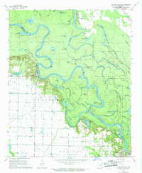
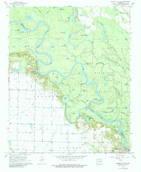
Editions of this 1967 Crocketts Bluff Map
3 editions found
Other maps of this area

1935 · Clarendon
USGS Topo · 1:62,500

1939 · Indian Bay
USGS Topo · 1:62,500

1940 · Holly Grove
USGS Topo · 1:62,500

1941 · De Witt
USGS Topo · 1:62,500

1941 · Clarendon
USGS Topo · 1:62,500

1948 · Helena
USGS Topo · 1:250,000

1950 · Helena
USGS Topo · 1:250,000

1954 · Indian Bay
USGS Topo · 1:62,500

1954 · De Witt
USGS Topo · 1:62,500

1955 · Helena
USGS Topo · 1:250,000