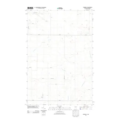
2013 Map of Cromwell SE
USGS Topo · Published 2013About this map
The Kettle River meanders through the northwest corner of this Carlton County landscape, while the W Fork Moose Horn River and Gillespie Brook define the eastern and central drainage patterns. This 2013 survey of Skelton Township reflects a rural geography shaped by family farmsteads and agricultural heritage, evidenced by the high density of roads bearing local surnames. These include Heiskari Rd, Reuben Johnson Rd, Hendrickson Rd, and Antila Rd, which form a grid-like network connecting isolated residences. Near the intersection of Co HWY-6 and Heiskari Rd, the Leonard Cem stands as a significant point of interest for genealogists tracing the Finnish and Scandinavian settlers who established this community. The map illustrates a quiet, wooded region where small-scale watercourses and township roads remain the primary landmarks.
Find a feature on this map
19 named features on this map. Tap any name to fly to it.
Don’t see what you’re looking for? This feature index may not catch every label — zoom into the map to look around manually.
Map Details
Editions of this 2013 Cromwell SE Map
This is the sole edition of this map. No revisions or reprints were ever made.
Other maps of this area

1953 · Duluth
USGS Topo · 1:250,000

1954 · Sawyer
USGS Topo · 1:24,000

1956 · Barnum
USGS Topo · 1:62,500

1958 · Duluth
USGS Topo · 1:250,000

1961 · Cromwell
USGS Topo · 1:62,500

1961 · Moose Lake
USGS Topo · 1:62,500

1962 · Bruno
USGS Topo · 1:62,500

1980 · Sandstone
USGS Topo · 1:100,000

1980 · Duluth
USGS Topo · 1:100,000

1981 · Kettle River
USGS Topo · 1:24,000
Featured Places
- Skelton Township, MN
- Kalevala Township, MN
- Moose Lake Township, MN
- Barnum Township, MN
- North Carlton, MN