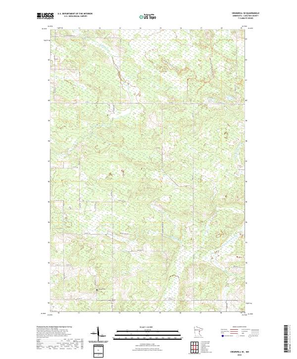
2022 Map of Cromwell SE
USGS Topo · Published 2022About this map
The Fond du Lac State Forest Trails Trl and the winding course of the Kettle River dominate this pocket of Carlton County. The landscape is a network of township and county roads often named for local families, including Heikkila Rd, Antila Rd, and Konsti Rd, reflecting the Finnish heritage common to this region of northern Minnesota. The Leonard Cem sits as a quiet landmark near the southern edge of the quadrangle along Co Hwy 6.
Find a feature on this map
37 named features on this map. Tap any name to fly to it.
Don’t see what you’re looking for? This feature index may not catch every label — zoom into the map to look around manually.
Map Details
Editions of this 2022 Cromwell SE Map
This is the sole edition of this map. No revisions or reprints were ever made.
Other maps of this area

1953 · Duluth
USGS Topo · 1:250,000

1954 · Sawyer
USGS Topo · 1:24,000

1956 · Barnum
USGS Topo · 1:62,500

1958 · Duluth
USGS Topo · 1:250,000

1961 · Cromwell
USGS Topo · 1:62,500

1961 · Moose Lake
USGS Topo · 1:62,500

1962 · Bruno
USGS Topo · 1:62,500

1980 · Sandstone
USGS Topo · 1:100,000

1980 · Duluth
USGS Topo · 1:100,000

1981 · Kettle River
USGS Topo · 1:24,000