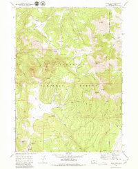
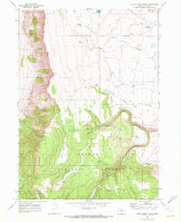
1968 Map of Crook Peak
USGS Topo · Published 1980About this map
Crook Peak and the high summits of the Fremont National Forest dominate this late 1960s survey of Lake County terrain. The landscape is defined by a network of drainage forks and high-altitude springs, including Military Spring and Mud Creek Spring, which supported the seasonal movement of people and livestock through these uplands. A Jeep Trail provides the primary access through the Crooked Creek Valley and across Sage Flat, reflecting the region's management by the Department of the Interior during the mid-20th century.
Find a feature on this map
40 named features on this map. Tap any name to fly to it.
Don’t see what you’re looking for? This feature index may not catch every label — zoom into the map to look around manually.
Map Details
Editions of this 1968 Crook Peak Map
2 editions found
Other maps of this area

1955 · Klamath Falls
USGS Topo · 1:250,000

1958 · Klamath Falls
USGS Topo · 1:250,000

1964 · Lakeview NE
USGS Topo · 1:24,000

1964 · Crooked Creek Valley
USGS Topo · 1:24,000

1964 · Valley Falls
USGS Topo · 1:24,000
1968 · Sage Hen Butte
USGS Topo · 1:24,000

1968 · Crook Peak
USGS Topo · 1:24,000
1968 · Horse Prairie
USGS Topo · 1:24,000
1968 · Drake Peak NE
USGS Topo · 1:24,000
1968 · Little Honey Creek
USGS Topo · 1:24,000