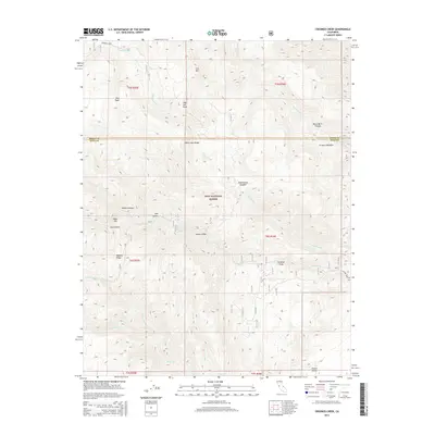
2015 Map of Crooked Creek
USGS Topo · Published 2015About this map
The White-Inyo Range dominates this landscape within the Inyo National Forest, where high-altitude peaks and deep canyons define the border between Inyo and Mono counties. High points like Red Peak and Iron Mtn tower over a complex drainage system fed by Crooked Creek and Wyman Cr. The presence of Mill Canyon and Arrastre Meadow suggests a history of resource extraction, as an arrastre was a primitive mill for grinding ore, common in early California mining. Travel through this vertical terrain is marked by the Wyman Creek Rd, which navigates the descent toward the Owens Valley to the southeast. Other notable landmarks including Royal Gorge, Dead Horse Meadow, and Index Hill provide specific points of reference for navigating this expansive wilderness area.
Find a feature on this map
31 named features on this map. Tap any name to fly to it.
Don’t see what you’re looking for? This feature index may not catch every label — zoom into the map to look around manually.
Map Details
Editions of this 2015 Crooked Creek Map
This is the sole edition of this map. No revisions or reprints were ever made.
Other maps of this area

1898 · Silver Peak
USGS Topo · 1:125,000

1900 · Silver Peak
USGS Topo · 1:125,000

1908 · Lida
USGS Topo · 1:250,000

1913 · Bishop
USGS Topo · 1:125,000

1913 · Lida
USGS Topo · 1:250,000

1917 · White Mountain
USGS Topo · 1:125,000

1947 · Mariposa
USGS Topo · 1:250,000

1948 · Mariposa
USGS Topo · 1:250,000

1951 · Blanco Mountain
USGS Topo · 1:62,500

1954 · Goldfield
USGS Topo · 1:250,000