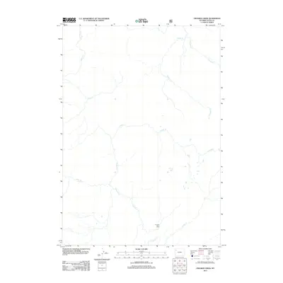
2012 Map of Crooked Creek
USGS Topo · Published 2012About this map
Snake River dominates the southern landscape of this 2012 survey, winding through the backcountry of Teton County. This wilderness-focused map captures the drainage systems that define this high-altitude region, where tributaries like Crooked Cr and Passage Cr descend from the ridges. The only named structure in this remote area is the Fox Creek Patrol Cabin, a specific point of interest for those tracking historical administrative or wilderness management footprints. The map is primarily a study of natural hydrography, showing the complex network of minor creeks such as Chipmunk Cr, Sickle Cr, and Grouse Cr that eventually feed into the larger river system. Researchers focused on Teton County's undeveloped reaches will find this map essential for understanding the seasonal watercourses and topographic layout of the land prior to more recent changes.
Find a feature on this map
8 named features on this map. Tap any name to fly to it.
Don’t see what you’re looking for? This feature index may not catch every label — zoom into the map to look around manually.
Map Details
Editions of this 2012 Crooked Creek Map
This is the sole edition of this map. No revisions or reprints were ever made.
Other maps of this area

1885 · Lake
USGS Topo · 1:125,000

1895 · Lake
USGS Topo · 1:125,000

1896 · Lake
USGS Topo · 1:125,000

1901 · Lake
USGS Topo · 1:125,000

1906 · Lake
USGS Topo · 1:125,000

1911 · Lake
USGS Topo · 1:125,000

1955 · Ashton
USGS Topo · 1:250,000

1958 · Ashton
USGS Topo · 1:250,000
1959 · Mount Hancock
USGS Topo · 1:62,500
1959 · Two Ocean Pass
USGS Topo · 1:62,500