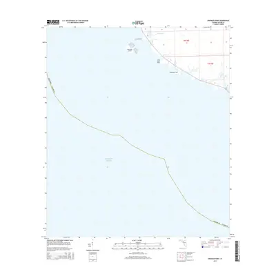
2015 Map of Crooked Point
USGS Topo · Published 2015About this map
The coastal marshlands and intricate tidal inlets of Taylor County define this segment of the Big Bend region. The landscape is dominated by the transition between the Atlantic Ocean and the low-lying Florida shoreline, where features such as Crooked Point and Long Grass Point mark the interface of land and sea. This 2015 survey illustrates the primitive road networks and drainage patterns that characterize this quiet stretch of coastline, highlighting the small settlement of Fishermans Rest situated near the labyrinthine waterways.
Find a feature on this map
9 named features on this map. Tap any name to fly to it.
Don’t see what you’re looking for? This feature index may not catch every label — zoom into the map to look around manually.
Map Details
Editions of this 2015 Crooked Point Map
This is the sole edition of this map. No revisions or reprints were ever made.
Other maps of this area

1954 · Steinhatchee SW
USGS Topo · 1:24,000

1954 · Salem SW
USGS Topo · 1:24,000

1954 · Steinhatchee
USGS Topo · 1:24,000

1954 · Keaton Beach
USGS Topo · 1:24,000

1954 · Crooked Point
USGS Topo · 1:24,000

1954 · Gainesville
USGS Topo · 1:250,000

1958 · Gainesville
USGS Topo · 1:250,000

1959 · Gainesville
USGS Topo · 1:250,000
1978 · Cross City
USGS Topo · 1:100,000
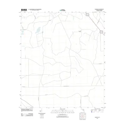
2012 · Salem SW
USGS Topo · 1:24,000