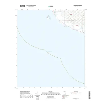
2018 Map of Crooked Point
USGS Topo · Published 2018About this map
Crooked Point marks a distinct protrusion along the Taylor County coastline where the marshy wetlands of the Big Bend region meet the Gulf of Mexico. This low-lying maritime landscape is defined by its drainage networks, including the winding course of Crooked Cr and Big Bear Cr, which filter through vast coastal marshes. Offshore, Big Grass Island stands as a prominent landmark for navigation in the shallow coastal waters. The presence of Fishermans Rest near Long Grass Point suggests the enduring importance of these tidal creeks and points for local maritime activities and recreational access. Mapping of the Public Land Survey System grids, including t8s-r8e and t9s r8e, provides the underlying structure for tracking land ownership in this undeveloped stretch of the Florida panhandle.
Find a feature on this map
9 named features on this map. Tap any name to fly to it.
Don’t see what you’re looking for? This feature index may not catch every label — zoom into the map to look around manually.
Map Details
Editions of this 2018 Crooked Point Map
This is the sole edition of this map. No revisions or reprints were ever made.
Other maps of this area

1954 · Steinhatchee SW
USGS Topo · 1:24,000

1954 · Salem SW
USGS Topo · 1:24,000

1954 · Steinhatchee
USGS Topo · 1:24,000

1954 · Keaton Beach
USGS Topo · 1:24,000

1954 · Crooked Point
USGS Topo · 1:24,000

1954 · Gainesville
USGS Topo · 1:250,000

1958 · Gainesville
USGS Topo · 1:250,000

1959 · Gainesville
USGS Topo · 1:250,000
1978 · Cross City
USGS Topo · 1:100,000
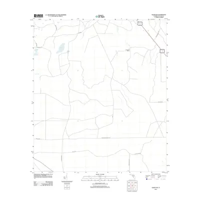
2012 · Salem SW
USGS Topo · 1:24,000