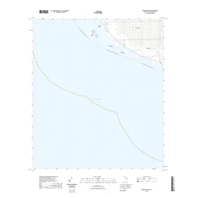
2021 Map of Crooked Point
USGS Topo · Published 2021About this map
Crooked Point marks a remote stretch of the Taylor County coastline where the marshy edges of Florida meet the open Gulf of Mexico. This coastal landscape is defined by its labyrinthine tidal hydrology, featuring Crooked Cr and Little Bear Creek which drain into the saltwater. The area remains largely undeveloped, characterized by landmarks like Big Grass Island and Long Grass Point. Evidence of local recreation and maritime use is found at Fishermans Rest, a named landing site along the shore. The Florida Circumnavigational Paddling Trl skirts the coastline, providing a designated water route for modern navigators through these wetlands and past the mouth of Clay Creek.
Find a feature on this map
11 named features on this map. Tap any name to fly to it.
Don’t see what you’re looking for? This feature index may not catch every label — zoom into the map to look around manually.
Map Details
Editions of this 2021 Crooked Point Map
This is the sole edition of this map. No revisions or reprints were ever made.
Other maps of this area

1954 · Steinhatchee SW
USGS Topo · 1:24,000

1954 · Salem SW
USGS Topo · 1:24,000

1954 · Steinhatchee
USGS Topo · 1:24,000

1954 · Keaton Beach
USGS Topo · 1:24,000

1954 · Crooked Point
USGS Topo · 1:24,000

1954 · Gainesville
USGS Topo · 1:250,000

1958 · Gainesville
USGS Topo · 1:250,000

1959 · Gainesville
USGS Topo · 1:250,000
1978 · Cross City
USGS Topo · 1:100,000
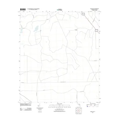
2012 · Salem SW
USGS Topo · 1:24,000