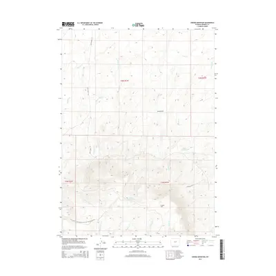
2015 Map of Crooks Mountain
USGS Topo · Published 2015About this map
Crooks Mtn dominates this high-altitude landscape in Fremont County, where the topography transitions from the high plains of the Red Desert into the southern foothills of the Granite Mountains. A section of the Continental Divide National Scenic Trail- Wyoming Portion traverses the southwestern slopes, marking a critical corridor for transcontinental navigation. The drainage patterns are defined by seasonally variable waterways like Haypress Cr and Cottonwood Cr, which carve through the arid terrain toward localized catchments such as Boggy Springs Pond and Woods Gulch Pond. Isolated thoroughfares like Happy Springs Rd and Lockhart Ranch Rd provide the only established access through this high-desert environment, where grazing and wildlife management define the land use.
Find a feature on this map
19 named features on this map. Tap any name to fly to it.
Don’t see what you’re looking for? This feature index may not catch every label — zoom into the map to look around manually.
Map Details
Editions of this 2015 Crooks Mountain Map
This is the sole edition of this map. No revisions or reprints were ever made.
Other maps of this area

1951 · Soap Holes
USGS Topo · 1:24,000

1951 · Crooks Creek NE
USGS Topo · 1:24,000

1951 · Stampede Meadow
USGS Topo · 1:24,000

1951 · Graham Ranch
USGS Topo · 1:24,000

1951 · Crooks Mountain
USGS Topo · 1:24,000

1951 · Myers Ranch
USGS Topo · 1:24,000

1955 · Lander
USGS Topo · 1:250,000

1955 · Casper
USGS Topo · 1:250,000

1957 · Jeffrey City
USGS Topo · 1:24,000

1958 · Casper
USGS Topo · 1:250,000