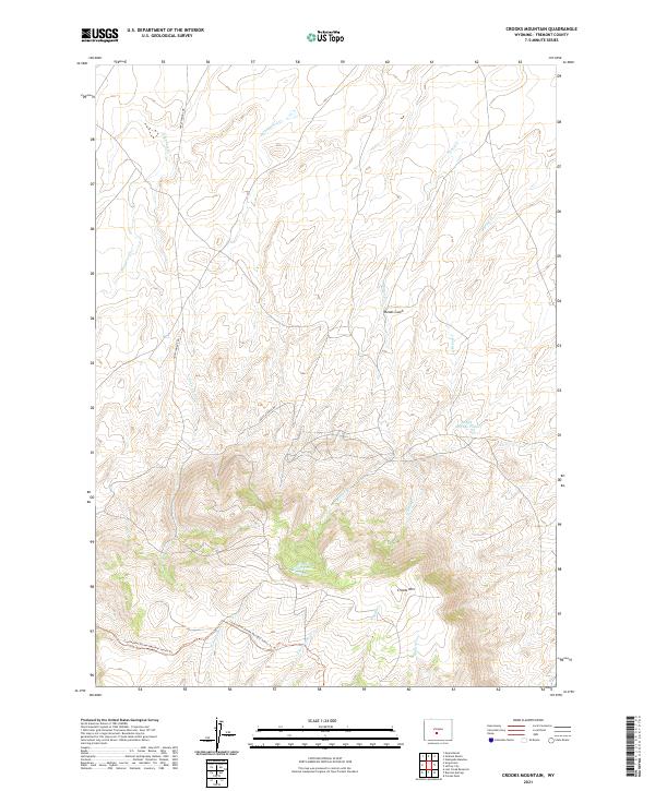
2021 Map of Crooks Mountain
USGS Topo · Published 2021About this map
Crooks Mtn dominates this high-elevation landscape in Fremont County, where the topography transitions from the drainage basins of Nancy Cr and O'Brian Cr in the north toward the continental crest. The southern portion of the map is defined by the high ridgeline of the Divide, marked by the route of the Continental Divide National Scenic Trl. This area serves as a significant hydrological headwaters region, with numerous drainages such as W Arapahoe Cr and E Arapahoe Cr flowing away from the mountain's southern face.
Find a feature on this map
18 named features on this map. Tap any name to fly to it.
Don’t see what you’re looking for? This feature index may not catch every label — zoom into the map to look around manually.
Map Details
Editions of this 2021 Crooks Mountain Map
This is the sole edition of this map. No revisions or reprints were ever made.
Other maps of this area

1951 · Soap Holes
USGS Topo · 1:24,000

1951 · Crooks Creek NE
USGS Topo · 1:24,000

1951 · Stampede Meadow
USGS Topo · 1:24,000

1951 · Graham Ranch
USGS Topo · 1:24,000

1951 · Crooks Mountain
USGS Topo · 1:24,000

1951 · Myers Ranch
USGS Topo · 1:24,000

1955 · Lander
USGS Topo · 1:250,000

1955 · Casper
USGS Topo · 1:250,000

1957 · Jeffrey City
USGS Topo · 1:24,000

1958 · Casper
USGS Topo · 1:250,000