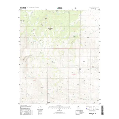
2017 Map of Crookson Peak
USGS Topo · Published 2017About this map
Gila National Forest spans this high-elevation landscape, where numerous natural springs and man-made water tanks are the primary signs of human activity in the arid terrain. The map is defined by prominent summits, including Crookson Peak, Juniper Peak, and the Summit Mountains to the southwest. Water sources like Utah Bill Spring, Fish Spring, and Dark Thunder Spring suggest a history of seasonal ranching or livestock movement through the canyons.
Find a feature on this map
68 named features on this map. Tap any name to fly to it.
Don’t see what you’re looking for? This feature index may not catch every label — zoom into the map to look around manually.
Map Details
Editions of this 2017 Crookson Peak Map
This is the sole edition of this map. No revisions or reprints were ever made.
Other maps of this area

1910 · Mogollon
USGS Topo · 1:125,000

1912 · Mogollon
USGS Topo · 1:125,000

1913 · Morenci
USGS Topo · 1:125,000

1915 · Morenci
USGS Topo · 1:125,000

1954 · Silver City
USGS Topo · 1:250,000

1954 · Clifton
USGS Topo · 1:250,000

1957 · Clifton
USGS Topo · 1:250,000

1958 · Silver City
USGS Topo · 1:250,000

1958 · Clifton
USGS Topo · 1:250,000

1959 · Steeple Rock
USGS Topo · 1:62,500