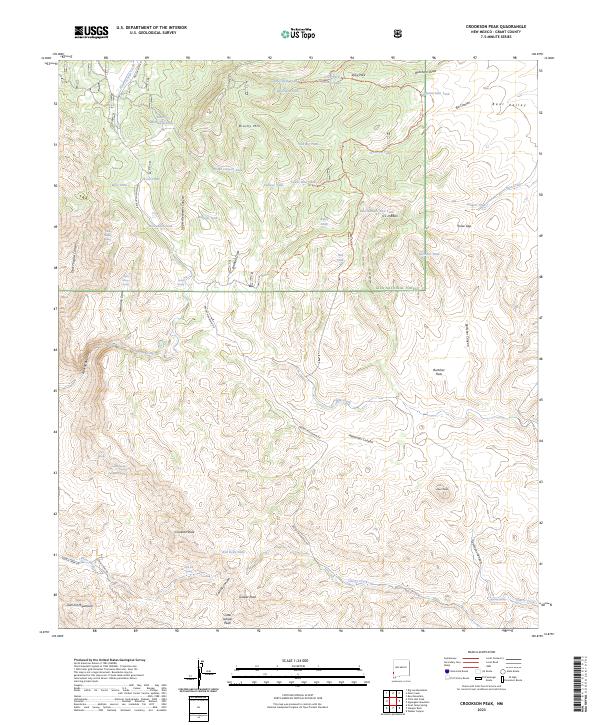
2023 Map of Crookson Peak
USGS Topo · Published 2023About this map
Crookson Peak rises as a central landmark within this section of the Gila National Forest, defining a high-elevation landscape marked by an extensive network of springs and stock tanks. Named water sources such as Dark Thunder Spring, Indian Spring, and McNair Spring suggest a history of livestock management and backcountry survival in Grant County. The terrain is deeply incised by drainages like Dark Thunder Canyon and Burtcher Canyon, while the presence of Burtcher Flats and Jerky Park indicates flatter clearings utilized amidst the peaks. Transportation across these canyons is facilitated by rugged routes like Brushy Mountain Rd and several forest trails, including 940 Trl and 941 Trl, which connect the isolated tanks and peaks that characterize this corner of the New Mexico wilderness.
Find a feature on this map
68 named features on this map. Tap any name to fly to it.
Don’t see what you’re looking for? This feature index may not catch every label — zoom into the map to look around manually.
Map Details
Editions of this 2023 Crookson Peak Map
This is the sole edition of this map. No revisions or reprints were ever made.
Other maps of this area

1910 · Mogollon
USGS Topo · 1:125,000

1912 · Mogollon
USGS Topo · 1:125,000

1913 · Morenci
USGS Topo · 1:125,000

1915 · Morenci
USGS Topo · 1:125,000

1954 · Silver City
USGS Topo · 1:250,000

1954 · Clifton
USGS Topo · 1:250,000

1957 · Clifton
USGS Topo · 1:250,000

1958 · Silver City
USGS Topo · 1:250,000

1958 · Clifton
USGS Topo · 1:250,000

1959 · Steeple Rock
USGS Topo · 1:62,500