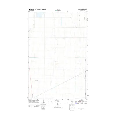
2013 Map of Crookston NE
USGS Topo · Published 2013About this map
Agricultural lands and water management systems dominate this corner of Polk County, where the landscape is defined by a grid of rural roads and long drainage channels. Regional transit is anchored by Us-75, running north-south through the western portion of the quadrangle. The map reveals the critical importance of organized water infrastructure in this prairie environment, specifically marked by the extensive courses of Judicial Ditch Number Sixty and County Ditch Number One Hundred Twentysix. Small-scale aviation landmarks, including Kaml Airstrip and Gasper Airport, suggest the utility of private flight for local land management and transportation. These features, along with a network of secondary routes like Co Hwy 13 and 210th Ave SW, illustrate the modern spatial organization of Minnesota's fertile Red River Valley region.
Find a feature on this map
9 named features on this map. Tap any name to fly to it.
Don’t see what you’re looking for? This feature index may not catch every label — zoom into the map to look around manually.
Map Details
Editions of this 2013 Crookston NE Map
This is the sole edition of this map. No revisions or reprints were ever made.
Other maps of this area

1918 · Angus
USGS Topo · 1:62,500

1918 · Red Lake Falls
USGS Topo · 1:62,500

1918 · Viking
USGS Topo · 1:62,500

1952 · Red Lake Falls
USGS Topo · 1:62,500

1952 · Grand Forks
USGS Topo · 1:250,000

1952 · Thief River Falls
USGS Topo · 1:250,000

1953 · Crookston
USGS Topo · 1:62,500

1956 · Thief River Falls
USGS Topo · 1:250,000

1956 · Grand Forks
USGS Topo · 1:250,000

1957 · Thief River Falls
USGS Topo · 1:250,000