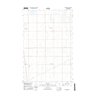
2016 Map of Crookston NE
USGS Topo · Published 2016About this map
Gasper Airport sits as a lonely landmark in this portion of the Red River Valley, an area defined by the precise geometry of the Public Land Survey System. The landscape is a testament to the engineering required for northern Minnesota agriculture, where significant water management systems like Judicial Ditch Number Sixty and County Ditch Number One Hundred Twentysix cut through the terrain to facilitate drainage. This section of Polk County is organized by a rigid grid of rural roads, including Co Hwy 19 and Co Hwy 52, which serve the expansive agricultural tracts between T152N R46W and T151N R47W. The map captures a modern view of this rural prairie environment, showing how transportation routes and hydrological modifications have shaped the use of this flat, open country.
Find a feature on this map
17 named features on this map. Tap any name to fly to it.
Don’t see what you’re looking for? This feature index may not catch every label — zoom into the map to look around manually.
Map Details
Editions of this 2016 Crookston NE Map
This is the sole edition of this map. No revisions or reprints were ever made.
Other maps of this area

1918 · Angus
USGS Topo · 1:62,500

1918 · Red Lake Falls
USGS Topo · 1:62,500

1918 · Viking
USGS Topo · 1:62,500

1952 · Red Lake Falls
USGS Topo · 1:62,500

1952 · Grand Forks
USGS Topo · 1:250,000

1952 · Thief River Falls
USGS Topo · 1:250,000

1953 · Crookston
USGS Topo · 1:62,500

1956 · Thief River Falls
USGS Topo · 1:250,000

1956 · Grand Forks
USGS Topo · 1:250,000

1957 · Thief River Falls
USGS Topo · 1:250,000