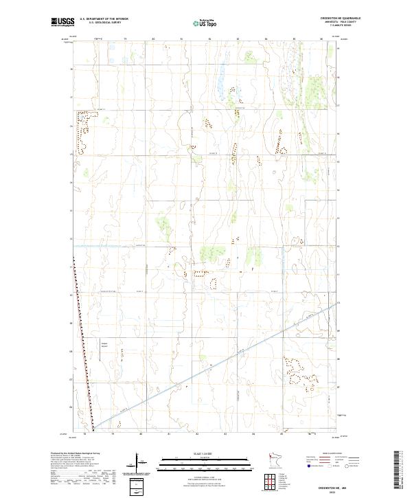
2022 Map of Crookston NE
USGS Topo · Published 2022About this map
Polk County agricultural lands north of Crookston are defined by an extensive network of water management features and a grid of secondary roads in this 2022 survey. The landscape is primarily shaped by major drainage projects including Judicial Ditch Number Sixty and County Ditch Number One Hundred Twentysix, which facilitate the region's intensive farming. These infrastructure projects highlight the long-term human effort to manage the local hydrology for cultivation in this part of northwestern Minnesota. Transportation is anchored by several county routes, such as Co Hwy 52 cutting diagonally across the southern sections, and localized transit is supported by Gasper Airport located near the intersection of the T151N R47W and T151N R46W townships. The map provides a clear view of the rural section lines and the distribution of farmsteads along routes like 240th Ave SW and Co Hwy 19.
Find a feature on this map
17 named features on this map. Tap any name to fly to it.
Don’t see what you’re looking for? This feature index may not catch every label — zoom into the map to look around manually.
Map Details
Editions of this 2022 Crookston NE Map
This is the sole edition of this map. No revisions or reprints were ever made.
Other maps of this area

1918 · Angus
USGS Topo · 1:62,500

1918 · Red Lake Falls
USGS Topo · 1:62,500

1918 · Viking
USGS Topo · 1:62,500

1952 · Red Lake Falls
USGS Topo · 1:62,500

1952 · Grand Forks
USGS Topo · 1:250,000

1952 · Thief River Falls
USGS Topo · 1:250,000

1953 · Crookston
USGS Topo · 1:62,500

1956 · Thief River Falls
USGS Topo · 1:250,000

1956 · Grand Forks
USGS Topo · 1:250,000

1957 · Thief River Falls
USGS Topo · 1:250,000