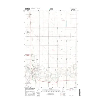
2016 Map of Crookston
USGS Topo · Published 2016About this map
The Red Lake River meanders through this portion of Polk County, defining the southern landscape of Crookston. This regional center is anchored by the Univ of Minnesota-Crookston campus and the historic Oakdale Cem on the city's western edge. The map captures the transition from the structured urban grid of the city to the expansive, ditch-drained agricultural plains of the Red River Valley. To the north, the Crookston Municipal Airport- Kirkwood Field and the small settlement of Shirley mark the corridor along the highway, while rail-related landmarks like Noyes Junction and Crookston Junction reflect the area's long-standing role as a transportation hub. Water management is a visible priority across the prairie, evidenced by engineered features like Judicial Ditch Number Sixty and the backwaters of Aunt Pollys Slough.
Find a feature on this map
85 named features on this map. Tap any name to fly to it.
Don’t see what you’re looking for? This feature index may not catch every label — zoom into the map to look around manually.
Map Details
Editions of this 2016 Crookston Map
This is the sole edition of this map. No revisions or reprints were ever made.
Other maps of this area

1918 · Red Lake Falls
USGS Topo · 1:62,500

1919 · Beltrami
USGS Topo · 1:62,500

1952 · Red Lake Falls
USGS Topo · 1:62,500

1952 · Grand Forks
USGS Topo · 1:250,000

1953 · Crookston
USGS Topo · 1:62,500

1956 · Grand Forks
USGS Topo · 1:250,000

1964 · Girard
USGS Topo · 1:24,000

1964 · Greenview
USGS Topo · 1:24,000

1965 · Harold
USGS Topo · 1:24,000

1966 · Grand Forks
USGS Topo · 1:250,000