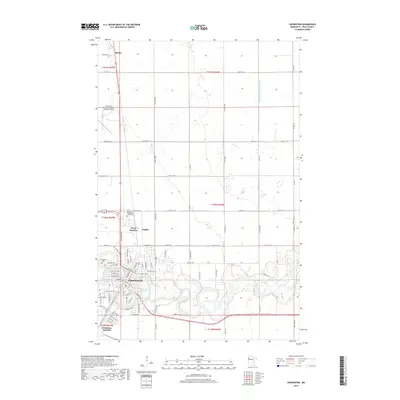
2019 Map of Crookston
USGS Topo · Published 2019About this map
The Red Lake River snakes through the heart of this landscape, its tight meanders defining the development of Crookston and its surrounding neighborhoods. The city's residential and institutional footprint is well-established, anchored by the Univ of Minnesota Crookston campus to the north and neighborhood clusters like Oakdale and Groveland near the riverbanks. The importance of the river's hydrology is further evidenced by Aunt Pollys Slough and the engineered drainage of Judicial Ditch Number Sixty, reflecting the agricultural necessity of water management in this region of Polk County.
Find a feature on this map
77 named features on this map. Tap any name to fly to it.
Don’t see what you’re looking for? This feature index may not catch every label — zoom into the map to look around manually.
Map Details
Editions of this 2019 Crookston Map
This is the sole edition of this map. No revisions or reprints were ever made.
Other maps of this area

1918 · Red Lake Falls
USGS Topo · 1:62,500

1919 · Beltrami
USGS Topo · 1:62,500

1952 · Red Lake Falls
USGS Topo · 1:62,500

1952 · Grand Forks
USGS Topo · 1:250,000

1953 · Crookston
USGS Topo · 1:62,500

1956 · Grand Forks
USGS Topo · 1:250,000

1964 · Girard
USGS Topo · 1:24,000

1964 · Greenview
USGS Topo · 1:24,000

1965 · Harold
USGS Topo · 1:24,000

1966 · Grand Forks
USGS Topo · 1:250,000