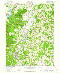
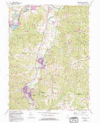
1961 Map of Crooksville
USGS Topo · Published 1963About this map
Crooksville and Roseville serve as the primary hubs of this early 1960s landscape, positioned along the industrial corridors of the Pennsylvania and New York Central railroads. The map reveals an area deeply shaped by extraction and industry, with numerous oil wells, a claypit, and extensive strip mines scattered across the township divisions of Newton, Clay, Harrison, and York. Small residential pockets like Brigglesville, Conway Addition, and Ironspot indicate the close-knit relationship between the labor force and the local manufacturing and mining sites.
Find a feature on this map
45 named features on this map. Tap any name to fly to it.
Don’t see what you’re looking for? This feature index may not catch every label — zoom into the map to look around manually.
Map Details
Editions of this 1961 Crooksville Map
5 editions found
Other maps of this area

1910 · Philo
USGS Topo · 1:62,500

1910 · Zanesville
USGS Topo · 1:62,500

1910 · Mc Connelsville
USGS Topo · 1:62,500

1911 · New Lexington
USGS Topo · 1:62,500

1947 · Columbus
USGS Topo · 1:250,000

1949 · Clarksburg
USGS Topo · 1:250,000

1956 · Clarksburg
USGS Topo · 1:250,000

1961 · Columbus
USGS Topo · 1:250,000

1961 · Clarksburg
USGS Topo · 1:250,000

1961 · New Lexington
USGS Topo · 1:24,000