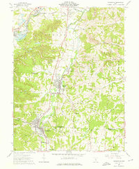
1961 Map of Crooksville
USGS Topo · Published 1976About this map
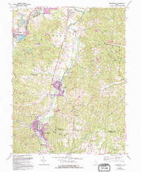
Moxahala Creek and Jonathan Creek carve the landscape of this Perry County corridor in the early 1960s, a region defined by its industrial reliance on the Pennsylvania and New York Central railroads. The map reveals a dense network of extraction, with numerous oil wells and strip mines dotting the terrain from Cannelville to Brigglesville. The pottery and clay industry heritage is evident at Ironspot and the Claypit near East Fultonham. Larger settlements like Crooksville and Roseville are shown with detailed street grids, while outlying communities like White Cottage, Kent, and Avondale mark the northern reaches of the survey. Rural life is anchored by local landmarks such as Ebenezer Church and Rose Hill Cemetery, illustrating the social fabric of the Muskingum and Perry County borderlands.
Find a feature on this map
51 named features on this map. Tap any name to fly to it.
Don’t see what you’re looking for? This feature index may not catch every label — zoom into the map to look around manually.
Map Details
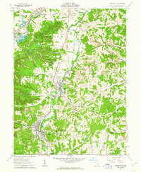
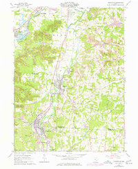
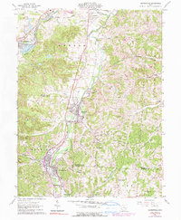
Editions of this 1961 Crooksville Map
5 editions found
Other maps of this area

1910 · Philo
USGS Topo · 1:62,500

1910 · Zanesville
USGS Topo · 1:62,500

1910 · Mc Connelsville
USGS Topo · 1:62,500

1911 · New Lexington
USGS Topo · 1:62,500

1947 · Columbus
USGS Topo · 1:250,000

1949 · Clarksburg
USGS Topo · 1:250,000

1956 · Clarksburg
USGS Topo · 1:250,000

1961 · Columbus
USGS Topo · 1:250,000

1961 · Clarksburg
USGS Topo · 1:250,000

1961 · New Lexington
USGS Topo · 1:24,000