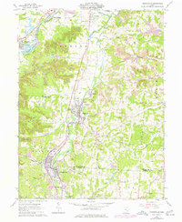
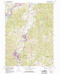
1961 Map of Crooksville
USGS Topo · Published 1977About this map
Crooksville and Roseville anchor the industrial landscape of the Moxahala Creek valley in this early 1960s study, later updated with mid-1970s developments. The region's economy is clearly etched into the terrain, defined by extensive Strip Mine operations, numerous Oil Well clusters, and the Conrail rail lines that follow the winding path of Jonathan Creek. These industrial features are interspersed with small communities such as White Cottage, East Fultonham, and the neighborhood of Conway Addition.
Find a feature on this map
60 named features on this map. Tap any name to fly to it.
Don’t see what you’re looking for? This feature index may not catch every label — zoom into the map to look around manually.
Map Details
Editions of this 1961 Crooksville Map
5 editions found
Other maps of this area

1910 · Philo
USGS Topo · 1:62,500

1910 · Zanesville
USGS Topo · 1:62,500

1910 · Mc Connelsville
USGS Topo · 1:62,500

1911 · New Lexington
USGS Topo · 1:62,500

1947 · Columbus
USGS Topo · 1:250,000

1949 · Clarksburg
USGS Topo · 1:250,000

1956 · Clarksburg
USGS Topo · 1:250,000

1961 · Columbus
USGS Topo · 1:250,000

1961 · Clarksburg
USGS Topo · 1:250,000

1961 · New Lexington
USGS Topo · 1:24,000