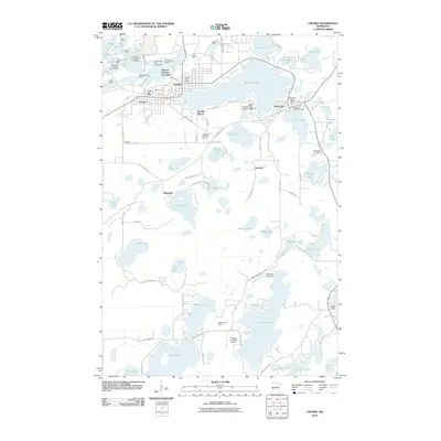
2010 Map of Crosby
USGS Topo · Published 2010About this map
The Portsmouth Mine, Croft Mine, and Armour Number Two Mine form a dense corridor of mining activity just north of Crosby and Ironton, highlighting the industrial legacy of the Cuyuna Range. The landscape is defined by a high concentration of water bodies and pits, where established settlements like Deerwood and Crosby Beach sit alongside specialized infrastructure such as the Mals-Serpent Lake Seaplane Base.
Find a feature on this map
93 named features on this map. Tap any name to fly to it.
Don’t see what you’re looking for? This feature index may not catch every label — zoom into the map to look around manually.
Map Details
Editions of this 2010 Crosby Map
This is the sole edition of this map. No revisions or reprints were ever made.
Other maps of this area

1912 · Deerwood
USGS Topo · 1:62,500

1913 · Cuyuna
USGS Topo · 1:62,500

1914 · Deerwood
USGS Topo · 1:62,500

1915 · Cuyuna
USGS Topo · 1:62,500

1915 · Brainerd
USGS Topo · 1:62,500

1918 · Brainerd
USGS Topo · 1:62,500

1953 · Duluth
USGS Topo · 1:250,000

1953 · Brainerd
USGS Topo · 1:250,000

1957 · Brainerd
USGS Topo · 1:250,000

1958 · Brainerd
USGS Topo · 1:250,000