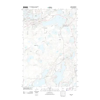
2013 Map of Crosby
USGS Topo · Published 2013About this map
The Armour Number Two Mine stands as a significant industrial landmark in this lake-rich portion of Crow Wing County, situated just north of Ironton and Crosby. The landscape is defined by an intricate network of water bodies, including the large Serpent Lake and the Nokasippi River, which flows through the southern terrain toward Eagle Lake. Settlement patterns are concentrated along the northern corridor, where the proximity of Cuyuna, Trommald, and Deerwood reflects the region's mining and recreational heritage. Smaller communities like Klondyke and Oreland are located further south, connected by a grid of county roads and trails. Genealogists will find several burial sites preserved here, such as Irondale Cem, Lakewood Cem, and Deerwood Cem. Recreational infrastructure is evident at the Portsmouth Bay Campground and Lindey's Landing Airport, highlighting the area's transition into a modern leisure destination while maintaining its deep industrial roots.
Find a feature on this map
107 named features on this map. Tap any name to fly to it.
Don’t see what you’re looking for? This feature index may not catch every label — zoom into the map to look around manually.
Map Details
Editions of this 2013 Crosby Map
This is the sole edition of this map. No revisions or reprints were ever made.
Other maps of this area

1912 · Deerwood
USGS Topo · 1:62,500

1913 · Cuyuna
USGS Topo · 1:62,500

1914 · Deerwood
USGS Topo · 1:62,500

1915 · Cuyuna
USGS Topo · 1:62,500

1915 · Brainerd
USGS Topo · 1:62,500

1918 · Brainerd
USGS Topo · 1:62,500

1953 · Duluth
USGS Topo · 1:250,000

1953 · Brainerd
USGS Topo · 1:250,000

1957 · Brainerd
USGS Topo · 1:250,000

1958 · Brainerd
USGS Topo · 1:250,000