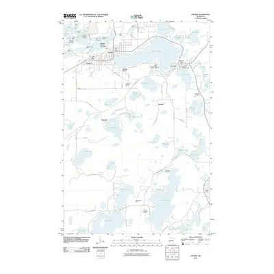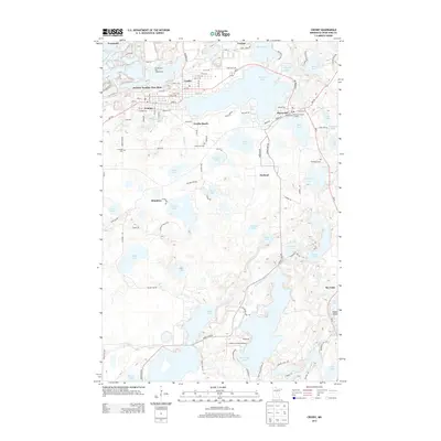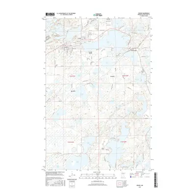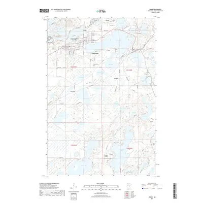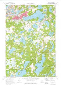
1973 Map of Crosby
USGS Topo · Published 1976About this map
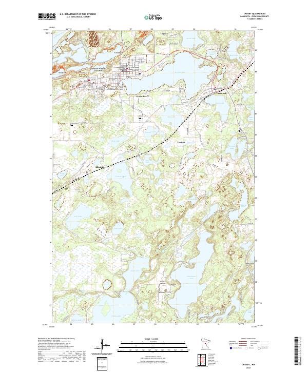
Crosby and Ironton stand at the heart of the Cuyuna Iron Range, where the landscape is deeply defined by the heritage of open-pit mining. The northern portion of the sheet is dominated by deep basins like Portsmouth Mine and Pennington Mine, many of which have filled with water, creating a unique pattern of industrial lakes. This mid-1970s view captures the transition of the region, as mining operations such as the Louise Mine and Manuel Mine sit alongside developing recreation areas at Serpent Lake and Crosby Beach.
Find a feature on this map
64 named features on this map. Tap any name to fly to it.
Don’t see what you’re looking for? This feature index may not catch every label — zoom into the map to look around manually.
Map Details
Editions of this 1973 Crosby Map
This is the sole edition of this map. No revisions or reprints were ever made.
Historical Maps of Crosby Through Time
6 maps found