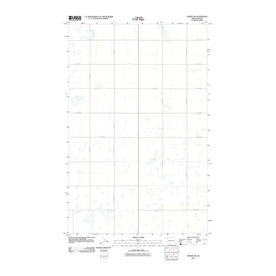
2011 Map of Crosby SE
USGS Topo · Published 2011About this map
Glaciated prairie potholes and seasonal wetlands define this section of Divide County, mapped during the early 21st century. The landscape is structured by a rigid sectional grid of gravel and section-line roads, such as County Rd 15 and 122nd Ave NW, which facilitate access across the sparsely populated terrain. Small, unnamed water bodies are scattered throughout the quadrangle, reflecting the region's characteristic hydrography where drainage patterns are often subtle and localized.
Find a feature on this map
11 named features on this map. Tap any name to fly to it.
Don’t see what you’re looking for? This feature index may not catch every label — zoom into the map to look around manually.
Map Details
Editions of this 2011 Crosby SE Map
This is the sole edition of this map. No revisions or reprints were ever made.
Other maps of this area

1948 · Alamo N.E.
USGS Topo · 1:24,000

1948 · Crosby SW
USGS Topo · 1:24,000

1948 · Ambrose
USGS Topo · 1:24,000

1948 · Bright Water Lake
USGS Topo · 1:24,000

1948 · Crosby
USGS Topo · 1:24,000

1948 · Crosby SE
USGS Topo · 1:24,000

1949 · Paulson
USGS Topo · 1:24,000

1949 · Noonan SW
USGS Topo · 1:24,000

1950 · Crosby
USGS Topo · 1:62,500

1950 · Noonan
USGS Topo · 1:62,500