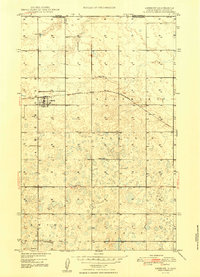
1948 Map of Ambrose
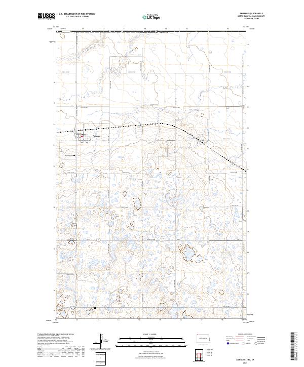
USGS Topo · Published 1948About this map
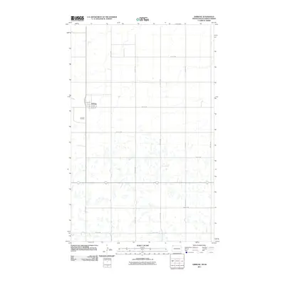
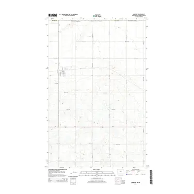
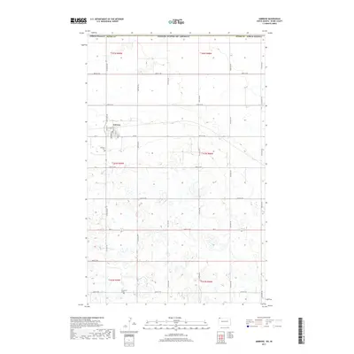
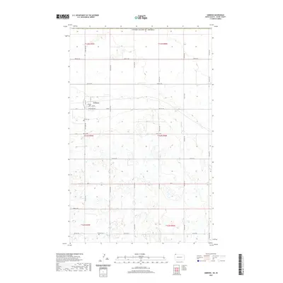
Ambrose serves as the focal point of this late 1940s survey of Divide County, situated just south of the Canada United States border. The town is a critical junction for the Minneapolis St Paul and Sault Ste Marie railroad, which cuts across the northern prairie landscape. The area is characterized by a dense network of small depressions and seasonal wetlands typical of the drift plain, spanning the townships of Blooming Prairie and Blooming Valley. Rural life is anchored by established community landmarks such as Emmanuel Ch and several local schoolhouses, including School No 1 and School No 8. The map also captures the Ambrose Cem west of the main settlement, providing valuable locations for genealogists tracing early families in this border region.
Find a feature on this map
11 named features on this map. Tap any name to fly to it.
Don’t see what you’re looking for? This feature index may not catch every label — zoom into the map to look around manually.
Map Details
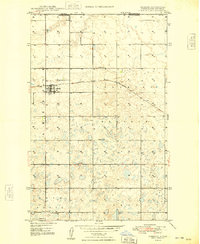
Editions of this 1948 Ambrose Map
3 editions found
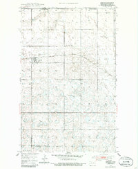
Historical Maps of Ambrose Through Time
6 maps found