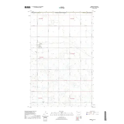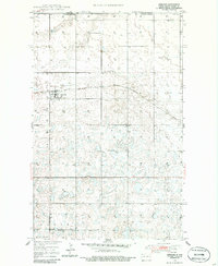
1948 Map of Ambrose
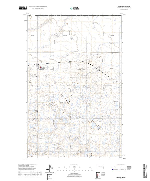
USGS Topo · Published 1986About this map
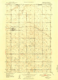
The town of Ambrose sits just south of the international border in this post-war survey of Divide County. The landscape is defined by the Blooming Prairie and the transit lines of the St Paul Minneapolis and Sault Ste Marie railroad, which runs through the heart of the settlement. To the south, the terrain shifts toward Twin Butte and the region of Troy, showing a classic High Plains settlement pattern of scattered rural landmarks. Local history is anchored by the Ambrose Cem, Emmanuel Ch, and a system of numbered country schools, including School No 1 and School No 3. This map captures the area before modern consolidation, preserving the locations of these early community nodes along the Canada United States border.
Find a feature on this map
11 named features on this map. Tap any name to fly to it.
Don’t see what you’re looking for? This feature index may not catch every label — zoom into the map to look around manually.
Map Details
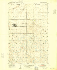
Editions of this 1948 Ambrose Map
3 editions found
Historical Maps of Ambrose Through Time
6 maps found