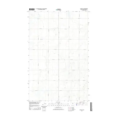
2014 Map of Crosby SE
USGS Topo · Published 2014About this map
Nd-42 bisects this portion of Divide County, serving as the primary north-south corridor through an open prairie landscape defined by a methodical section-line road grid. The map reveals a highly structured agricultural geography where routes like 100th St NW and 94th St NW delineate the expansive fields characteristic of the North Dakota plains. Small depressions and wetlands dot the terrain, particularly visible near 123rd Ave NW, indicating the natural drainage patterns of this high plains region. While the map is sparse in named settlements, the density of the rural road network, including 120th Ave NW and 122nd Ave NW, underscores the organized land management and accessibility required for large-scale farming operations in the early 21st century.
Find a feature on this map
15 named features on this map. Tap any name to fly to it.
Don’t see what you’re looking for? This feature index may not catch every label — zoom into the map to look around manually.
Map Details
Editions of this 2014 Crosby SE Map
This is the sole edition of this map. No revisions or reprints were ever made.
Other maps of this area

1948 · Alamo N.E.
USGS Topo · 1:24,000

1948 · Crosby SW
USGS Topo · 1:24,000

1948 · Ambrose
USGS Topo · 1:24,000

1948 · Bright Water Lake
USGS Topo · 1:24,000

1948 · Crosby
USGS Topo · 1:24,000

1948 · Crosby SE
USGS Topo · 1:24,000

1949 · Paulson
USGS Topo · 1:24,000

1949 · Noonan SW
USGS Topo · 1:24,000

1950 · Crosby
USGS Topo · 1:62,500

1950 · Noonan
USGS Topo · 1:62,500