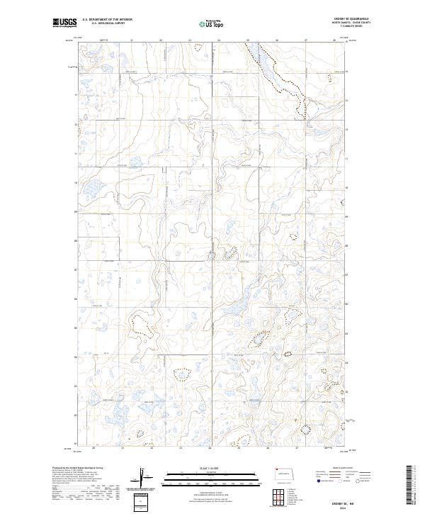
2024 Map of Crosby SE
USGS Topo · Published 2024About this map
Divide County Waterfowl Production Area dominates the southwestern portion of this map, reflecting the conservation-focused land use common in the prairie pothole region of North Dakota. The landscape is defined by a dense network of wetlands and small water bodies that punctuate the section-line grid of the Public Land Survey System. These natural features are interspersed among a structured transportation framework including Co 14 and long north-south thoroughfares like 120th Ave NW and 119th Ave NW. The terrain shows subtle elevation changes typical of the northern plains, where township lines like t162n r98w and t161n r97w mark the administrative divisions of this rural expanse. The map illustrates how modern agriculture and wildlife management coexist within a rigid geometric road system that has changed little since the original homesteading era.
Find a feature on this map
20 named features on this map. Tap any name to fly to it.
Don’t see what you’re looking for? This feature index may not catch every label — zoom into the map to look around manually.
Map Details
Editions of this 2024 Crosby SE Map
This is the sole edition of this map. No revisions or reprints were ever made.
Other maps of this area

1948 · Alamo N.E.
USGS Topo · 1:24,000

1948 · Crosby SW
USGS Topo · 1:24,000

1948 · Ambrose
USGS Topo · 1:24,000

1948 · Bright Water Lake
USGS Topo · 1:24,000

1948 · Crosby
USGS Topo · 1:24,000

1948 · Crosby SE
USGS Topo · 1:24,000

1949 · Paulson
USGS Topo · 1:24,000

1949 · Noonan SW
USGS Topo · 1:24,000

1950 · Crosby
USGS Topo · 1:62,500

1950 · Noonan
USGS Topo · 1:62,500