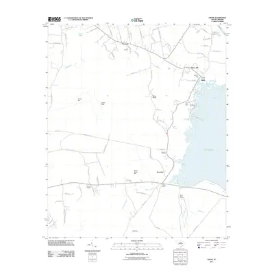
2011 Map of Cross
USGS Topo · Published 2011About this map
Lake Moultrie and the Diversion Canal define the eastern edge of this Berkeley County landscape, where the waters meet a network of rural settlements and agricultural bays. The community of Cross serves as a central hub, featuring the Cross Post Office and the Cross Lookout Tower near the shoreline. This area is deeply connected to local family histories, evidenced by several scattered burial grounds including Mount Olivet Cemetery, Zion Cemetery, and Grooms Cemetery.
Find a feature on this map
81 named features on this map. Tap any name to fly to it.
Don’t see what you’re looking for? This feature index may not catch every label — zoom into the map to look around manually.
Map Details
Editions of this 2011 Cross Map
This is the sole edition of this map. No revisions or reprints were ever made.
Other maps of this area

1919 · Summerville
USGS Topo · 1:48,000

1919 · Ridgeville
USGS Topo · 1:48,000

1920 · Eutawville
USGS Topo · 1:48,000

1920 · Chicora
USGS Topo · 1:48,000

1920 · Ridgeville
USGS Topo · 1:62,500

1920 · Summerville
USGS Topo · 1:62,500

1921 · Chicora
USGS Topo · 1:62,500

1921 · Eutawville
USGS Topo · 1:62,500

1943 · Chicora
USGS Topo · 1:62,500

1943 · Ridgeville
USGS Topo · 1:62,500