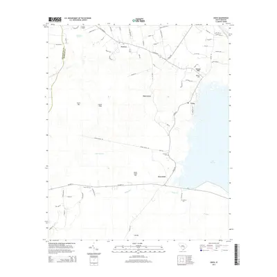
2014 Map of Cross
USGS Topo · Published 2014About this map
Lake Moultrie defines the eastern boundary of this South Carolina landscape, where the low-lying terrain meets the expansive waters of the reservoir. The interior is characterized by a network of rural settlements such as Cross, Moorefield, and Moss Grove, which are connected by established routes like Old Highway 6 and Ranger Dr. This area reflects a traditional settlement pattern typical of the South Carolina Lowcountry, with small communities clustered around crossroads and family-named landmarks.
Find a feature on this map
66 named features on this map. Tap any name to fly to it.
Don’t see what you’re looking for? This feature index may not catch every label — zoom into the map to look around manually.
Map Details
Editions of this 2014 Cross Map
This is the sole edition of this map. No revisions or reprints were ever made.
Other maps of this area

1919 · Summerville
USGS Topo · 1:48,000

1919 · Ridgeville
USGS Topo · 1:48,000

1920 · Eutawville
USGS Topo · 1:48,000

1920 · Chicora
USGS Topo · 1:48,000

1920 · Ridgeville
USGS Topo · 1:62,500

1920 · Summerville
USGS Topo · 1:62,500

1921 · Chicora
USGS Topo · 1:62,500

1921 · Eutawville
USGS Topo · 1:62,500

1943 · Chicora
USGS Topo · 1:62,500

1943 · Ridgeville
USGS Topo · 1:62,500