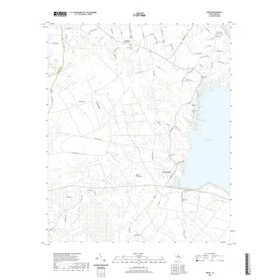
2020 Map of Cross
USGS Topo · Published 2020About this map
Lake Moultrie defines the eastern boundary of this Berkeley County landscape, where the low-country terrain transitions into a complex network of wetlands and bays. Small settlements like Moorefield and Cross serve as local anchors among numerous named depressions, including Beech Island Bay and Jackson Camp Bay. These features suggest a landscape shaped by both natural hydrology and historical land use, with Wassamassaw Swamp and Big Run draining the southeastern reaches. Family and community history is preserved at sites such as Mount Olivet Cem and Friendship Cem, located along the wooded corridors between Prioleau and Nelson Hill. The area's geography is further detailed by features like Layton Ridge and the winding course of Little Black Cr, reflecting a rural South Carolina character characterized by timberlands and scattered residential clusters.
Find a feature on this map
79 named features on this map. Tap any name to fly to it.
Don’t see what you’re looking for? This feature index may not catch every label — zoom into the map to look around manually.
Map Details
Editions of this 2020 Cross Map
This is the sole edition of this map. No revisions or reprints were ever made.
Other maps of this area

1919 · Summerville
USGS Topo · 1:48,000

1919 · Ridgeville
USGS Topo · 1:48,000

1920 · Eutawville
USGS Topo · 1:48,000

1920 · Chicora
USGS Topo · 1:48,000

1920 · Ridgeville
USGS Topo · 1:62,500

1920 · Summerville
USGS Topo · 1:62,500

1921 · Chicora
USGS Topo · 1:62,500

1921 · Eutawville
USGS Topo · 1:62,500

1943 · Chicora
USGS Topo · 1:62,500

1943 · Ridgeville
USGS Topo · 1:62,500