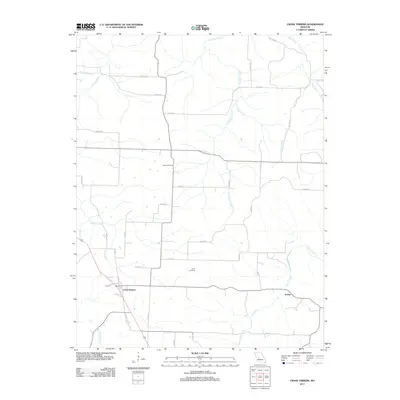
2011 Map of Cross Timbers
USGS Topo · Published 2011About this map
Cross Timbers serves as the primary hub of this Hickory County landscape, situated at the junction of several rural routes including Main St and Sherman St. The area is defined by its extensive network of watercourses, with Turkey Creek winding through the western portion and Little Deer Creek and Sugar Creek draining the central and northern reaches. The settlement of Jordan is located to the southeast, positioned near the meandering path of Starks Creek.
Find a feature on this map
38 named features on this map. Tap any name to fly to it.
Don’t see what you’re looking for? This feature index may not catch every label — zoom into the map to look around manually.
Map Details
Editions of this 2011 Cross Timbers Map
This is the sole edition of this map. No revisions or reprints were ever made.
Other maps of this area

1884 · Bolivar
USGS Topo · 1:125,000

1887 · Warsaw
USGS Topo · 1:125,000

1892 · Bolivar
USGS Topo · 1:125,000

1894 · Warsaw
USGS Topo · 1:125,000

1935 · Edwards
USGS Topo · 1:24,000

1935 · Dell
USGS Topo · 1:24,000

1935 · Knobby Creek
USGS Topo · 1:24,000

1945 · Fristoe
USGS Topo · 1:62,500

1947 · Jefferson City
USGS Topo · 1:250,000
1951 · Hermitage
USGS Topo · 1:62,500