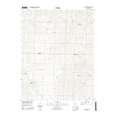
2014 Map of Cross Timbers
USGS Topo · Published 2014About this map
Cross Timbers serves as a central hub in this area of the Ozarks, where the border of Benton Co and Hickory Co meets. The landscape is defined by the winding drainages of Turkey Creek and Little Deer Creek, which carve through the terrain to create landmarks like Brushy Hollow. This 2014 survey documents a rural infrastructure where family and community heritage is preserved in sites such as Bethel Campground Cemetery and Guler Cemetery. Further east, the small settlement of Jordan sits near the headwaters of Starks Creek. The map also captures modern recreational developments, notably Lake Glenwood in Hidden Valley, illustrating how the region's traditional agriculture and timber-laden hillsides have integrated with newer residential footprints along roads like Mo-Aa and Sawmill Road.
Find a feature on this map
66 named features on this map. Tap any name to fly to it.
Don’t see what you’re looking for? This feature index may not catch every label — zoom into the map to look around manually.
Map Details
Editions of this 2014 Cross Timbers Map
This is the sole edition of this map. No revisions or reprints were ever made.
Other maps of this area

1884 · Bolivar
USGS Topo · 1:125,000

1887 · Warsaw
USGS Topo · 1:125,000

1892 · Bolivar
USGS Topo · 1:125,000

1894 · Warsaw
USGS Topo · 1:125,000

1935 · Edwards
USGS Topo · 1:24,000

1935 · Dell
USGS Topo · 1:24,000

1935 · Knobby Creek
USGS Topo · 1:24,000

1945 · Fristoe
USGS Topo · 1:62,500

1947 · Jefferson City
USGS Topo · 1:250,000
1951 · Hermitage
USGS Topo · 1:62,500