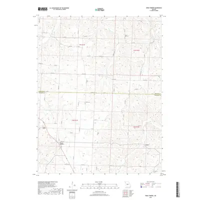
2017 Map of Cross Timbers
USGS Topo · Published 2017About this map
Cross Timbers and the surrounding borderlands of Hickory and Benton Counties are defined by a deeply dissected drainage system where the Ozark plateau breaks toward the Pomme de Terre River watershed. The settlement of Cross Timbers sits along a prominent north-south ridge line, served by modern corridors like State Hwy VV. This area retains a significant amount of its pioneer-era heritage, evidenced by numerous rural burial grounds such as the Bethel Campground Cem, Guier Cem, and Davis Cem. The landscape is a network of ridges and narrow valleys, most notably Brushy Hollow, with water moving through Turkey Cr and Starks Creek. Near the eastern edge, the small community of Jordan serves as a secondary landmark. The road network, including Stone Piler Ave and Jackman Ave, follows the contours of the terrain, reflecting the long-standing agricultural and residential patterns of this part of Missouri.
Find a feature on this map
60 named features on this map. Tap any name to fly to it.
Don’t see what you’re looking for? This feature index may not catch every label — zoom into the map to look around manually.
Map Details
Editions of this 2017 Cross Timbers Map
This is the sole edition of this map. No revisions or reprints were ever made.
Other maps of this area

1884 · Bolivar
USGS Topo · 1:125,000

1887 · Warsaw
USGS Topo · 1:125,000

1892 · Bolivar
USGS Topo · 1:125,000

1894 · Warsaw
USGS Topo · 1:125,000

1935 · Edwards
USGS Topo · 1:24,000

1935 · Dell
USGS Topo · 1:24,000

1935 · Knobby Creek
USGS Topo · 1:24,000

1945 · Fristoe
USGS Topo · 1:62,500

1947 · Jefferson City
USGS Topo · 1:250,000
1951 · Hermitage
USGS Topo · 1:62,500