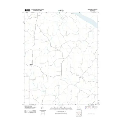
2012 Map of Crosstown
USGS Topo · Published 2012About this map
The Mississippi River defines the northeastern edge of this landscape, where the bluffs and bottoms of Perry County meet the water's edge. Inland, the settlements of Crosstown, Farrar, and Brazeau serve as historical anchors for the surrounding rural area, connected by a network of local routes like Co Hwy 332 and PCR 330. The terrain is deeply inscribed by its drainage systems, with Omete Creek and Brazeau Creek winding through the countryside, while Indian Creek and Dry Fork carve out the western reaches near Eureka. This 2012 survey illustrates a modern rural layout that remains deeply influenced by its natural topography. Researchers can trace the placement of homes and farmsteads along family-named roads such as Luehrs Ln and Laurel Ln, reflecting the persistent patterns of land use and habitation in this river-bordering region.
Find a feature on this map
54 named features on this map. Tap any name to fly to it.
Don’t see what you’re looking for? This feature index may not catch every label — zoom into the map to look around manually.
Map Details
Editions of this 2012 Crosstown Map
This is the sole edition of this map. No revisions or reprints were ever made.
Other maps of this area

1915 · Chester
USGS Topo · 1:62,500

1916 · Campbell Hill
USGS Topo · 1:62,500

1918 · Altenburg
USGS Topo · 1:62,500

1918 · Campbell Hill
USGS Topo · 1:62,500

1923 · Perryville
USGS Topo · 1:62,500

1924 · Perryville
USGS Topo · 1:62,500

1925 · Altenburg
USGS Topo · 1:62,500

1947 · Chester
USGS Topo · 1:62,500

1947 · Crosstown
USGS Topo · 1:24,000

1947 · Oak Ridge
USGS Topo · 1:24,000