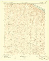
1948 Map of Crosstown
USGS Topo · Published 1948About this map
Crosstown and its neighboring rural communities sit atop the dissected uplands of Perry County just west of the Mississippi River. This mid-century survey reveals a landscape of scattered agricultural hamlets and a dense network of one-room schoolhouses that once anchored local life. Settlements like Farrar, Brazeau, and Frohna are connected by winding roads that follow the ridges between deep creek valleys, such as those formed by Indian Creek and Brazeau Creek.
Find a feature on this map
23 named features on this map. Tap any name to fly to it.
Don’t see what you’re looking for? This feature index may not catch every label — zoom into the map to look around manually.
Map Details
Editions of this 1948 Crosstown Map
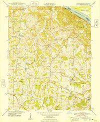
2 editions found
Other maps of this area

1915 · Chester
USGS Topo · 1:62,500

1916 · Campbell Hill
USGS Topo · 1:62,500

1918 · Altenburg
USGS Topo · 1:62,500

1918 · Campbell Hill
USGS Topo · 1:62,500

1923 · Perryville
USGS Topo · 1:62,500

1924 · Perryville
USGS Topo · 1:62,500

1925 · Altenburg
USGS Topo · 1:62,500

1947 · Chester
USGS Topo · 1:62,500

1947 · Crosstown
USGS Topo · 1:24,000

1947 · Oak Ridge
USGS Topo · 1:24,000