
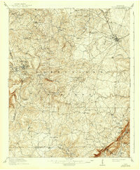
1912 Map of Crossville
USGS Topo · Published 1912About this map
The Cumberland Plateau landscape around 1910 is defined by the Tennessee Central RR cutting through the northeast, where Crossville serves as the primary hub of activity. This era shows a network of small, rural communities connected by primitive roads and river crossings such as Tarkiln Ford. The distribution of family-named landmarks and institutions like Smith Chapel, Burgess School, and Hinch Mill reveals a decentralized social structure centered on ridge-top settlements and creek-side industry.
Find a feature on this map
86 named features on this map. Tap any name to fly to it.
Don’t see what you’re looking for? This feature index may not catch every label — zoom into the map to look around manually.
Map Details
Editions of this 1912 Crossville Map
2 editions found
Other maps of this area

1887 · Kingston
USGS Topo · 1:125,000

1891 · Kingston
USGS Topo · 1:125,000

1892 · Pikeville
USGS Topo · 1:125,000

1893 · Kingston
USGS Topo · 1:125,000

1895 · Wartburg
USGS Topo · 1:125,000

1895 · Pikeville
USGS Topo · 1:125,000

1896 · Wartburg
USGS Topo · 1:125,000

1897 · Standingstone
USGS Topo · 1:125,000

1898 · Standingstone
USGS Topo · 1:125,000

1909 · Sequatchie Valley
USGS Topo · 1:62,500