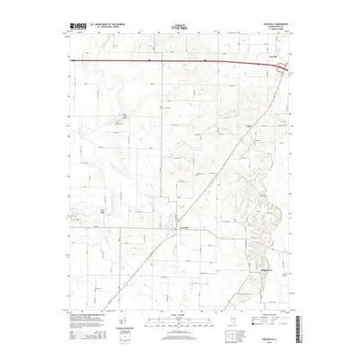
2015 Map of Crossville
USGS Topo · Published 2015About this map
Crossville sits at the intersection of a sprawling rural road network and the natural bends of the Little Wabash River in this modern topographic survey. The landscape is defined by the winding paths of Elliott Cr and Crooked Cr, which feed into the larger river systems that historically dictated local travel and settlement. Historical crossing points are preserved in the names of the Hanks Ferry Bridge and Cherry Shoals Bridge, providing a link to earlier methods of river transit.
Find a feature on this map
53 named features on this map. Tap any name to fly to it.
Don’t see what you’re looking for? This feature index may not catch every label — zoom into the map to look around manually.
Map Details
Editions of this 2015 Crossville Map
This is the sole edition of this map. No revisions or reprints were ever made.
Other maps of this area

1903 · New Harmony
USGS Topo · 1:62,500

1903 · Patoka
USGS Topo · 1:125,000

1904 · Mount Carmel
USGS Topo · 1:62,500

1938 · New Harmony
USGS Topo · 1:62,500

1940 · Carmi
USGS Topo · 1:62,500

1943 · Carmi
USGS Topo · 1:62,500

1943 · Albion
USGS Topo · 1:62,500

1946 · Albion
USGS Topo · 1:62,500

1956 · Vincennes
USGS Topo · 1:250,000

1957 · Vincennes
USGS Topo · 1:250,000