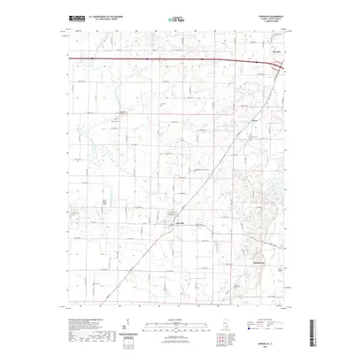
2021 Map of Crossville
USGS Topo · Published 2021About this map
Crossville and the surrounding agricultural lands of White County are defined by the winding course of the Little Wabash River and its various tributaries. This 2021 study illustrates a landscape deeply tied to its rural roots and water-dependent history, evident in crossings like the Hanks Ferry Bridge and Cherry Shoals Bridge. The settlement patterns are concentrated around historic hubs such as Grayville, Calvin, and Phillipstown, each maintaining distinct local identities through their road networks and community spaces.
Find a feature on this map
84 named features on this map. Tap any name to fly to it.
Don’t see what you’re looking for? This feature index may not catch every label — zoom into the map to look around manually.
Map Details
Editions of this 2021 Crossville Map
This is the sole edition of this map. No revisions or reprints were ever made.
Other maps of this area

1903 · New Harmony
USGS Topo · 1:62,500

1903 · Patoka
USGS Topo · 1:125,000

1904 · Mount Carmel
USGS Topo · 1:62,500

1938 · New Harmony
USGS Topo · 1:62,500

1940 · Carmi
USGS Topo · 1:62,500

1943 · Carmi
USGS Topo · 1:62,500

1943 · Albion
USGS Topo · 1:62,500

1946 · Albion
USGS Topo · 1:62,500

1956 · Vincennes
USGS Topo · 1:250,000

1957 · Vincennes
USGS Topo · 1:250,000