2024 Map of Crossville
USGS Topo · Published 2024About this map
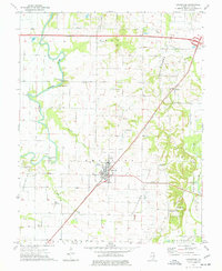
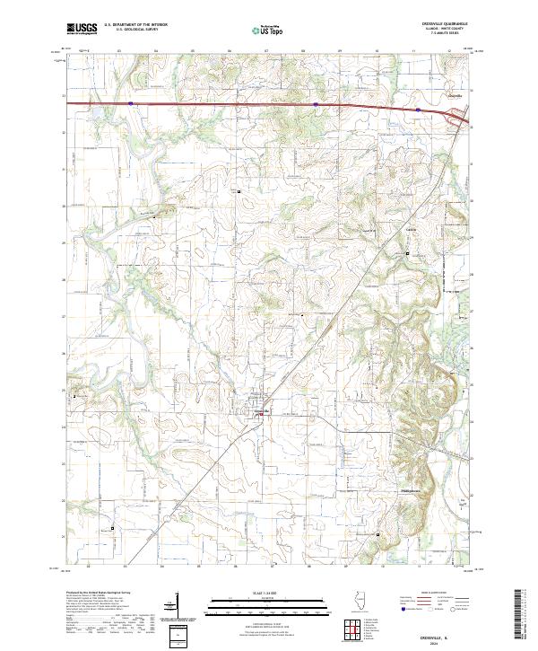
Crossville sits at a major crossroads in White County, surrounded by a landscape of small agricultural settlements and winding river systems. The town plan is anchored by E Main St and S Cross St, while the surrounding countryside is dotted with historical cemeteries that speak to the long-standing family lineages of the region, including the Whiting Family Cem and the Brown Cem. The area is defined by the proximity of the Little Wabash River to the west and the Fox River to the east, creating a corridor of fertile land drained by Elliott Creek and Crooked Creek.
Find a feature on this map
47 named features on this map. Tap any name to fly to it.
Don’t see what you’re looking for? This feature index may not catch every label — zoom into the map to look around manually.
Map Details
Editions of this 2024 Crossville Map
This is the sole edition of this map. No revisions or reprints were ever made.