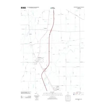
2013 Map of Crothersville
USGS Topo · Published 2013About this map
Crothersville and Austin serve as the primary hubs in this southern Indiana landscape, where the flatlands are defined by an intricate network of drainage systems. The Vernon Fork Muscatatuck River and the main Muscatatuck River course through the area, joined by numerous named waterways such as Quick Cr, Cana Cr, and Grassy Creek. This modern survey illustrates how traditional agriculture persists alongside major transportation corridors, with Interstate 65 and US Route 31 bisecting the terrain north to south. Small communities like Uniontown, Retreat, and Lagoons mark the junctions of county roads. The mapping of features like the Hall Sherman Ditch and John McDonald Ditch reveals the extensive engineering required to manage the watershed for local farming and development.
Find a feature on this map
108 named features on this map. Tap any name to fly to it.
Don’t see what you’re looking for? This feature index may not catch every label — zoom into the map to look around manually.
Map Details
Editions of this 2013 Crothersville Map
This is the sole edition of this map. No revisions or reprints were ever made.
Other maps of this area

1947 · Scottsburg
USGS Topo · 1:24,000

1956 · Blocher
USGS Topo · 1:24,000

1956 · Deputy
USGS Topo · 1:24,000

1956 · Louisville
USGS Topo · 1:250,000

1958 · Little York
USGS Topo · 1:24,000

1958 · Seymour
USGS Topo · 1:24,000

1959 · Tampico
USGS Topo · 1:24,000
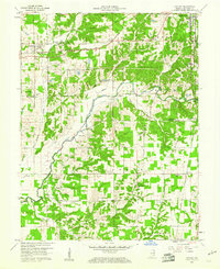
1959 · Hayden
USGS Topo · 1:24,000

1959 · Crothersville
USGS Topo · 1:24,000
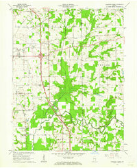
1959 · Chestnut Ridge
USGS Topo · 1:24,000