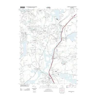
2013 Map of Croton Falls
USGS Topo · Published 2013About this map
Muscoot Farm and the surrounding hamlets of northern Westchester and Putnam counties define this landscape of interconnected reservoirs and rolling ridges. The 2013 survey illustrates the complex water management system of the region, where the Muscoot Reservoir, Amawalk Reservoir, and Titicus Reservoir dominate the low-lying basins. These massive water bodies are linked by natural waterways such as Plum Brook and the Titicus River, which navigate between prominent elevations like Senior Hill and Mount Zion.
Find a feature on this map
47 named features on this map. Tap any name to fly to it.
Don’t see what you’re looking for? This feature index may not catch every label — zoom into the map to look around manually.
Map Details
Editions of this 2013 Croton Falls Map
This is the sole edition of this map. No revisions or reprints were ever made.
Other maps of this area

1892 · Stamford
USGS Topo · 1:62,500

1892 · West Point
USGS Topo · 1:62,500

1892 · Carmel
USGS Topo · 1:62,500

1892 · Tarrytown
USGS Topo · 1:62,500

1893 · Carmel
USGS Topo · 1:62,500

1893 · Stamford
USGS Topo · 1:62,500

1893 · Tarrytown
USGS Topo · 1:62,500

1894 · West Point
USGS Topo · 1:62,500

1894 · Carmel
USGS Topo · 1:62,500

1899 · Stamford
USGS Topo · 1:62,500