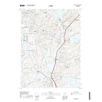
2019 Map of Croton Falls
USGS Topo · Published 2019About this map
Croton Falls Reservoir and the Titicus Reservoir anchor this 2019 survey of the borderlands between Putnam and Westchester counties. The landscape is defined by the sophisticated hydraulic infrastructure of the New York City water supply system, including the subterranean Delaware Aqueduct and the regulated flow of the East Branch Croton River. These modern utilities overlay a dense network of residential hamlets and historic crossroads such as Somers, Lincolndale, and Purdys.
Find a feature on this map
65 named features on this map. Tap any name to fly to it.
Don’t see what you’re looking for? This feature index may not catch every label — zoom into the map to look around manually.
Map Details
Editions of this 2019 Croton Falls Map
This is the sole edition of this map. No revisions or reprints were ever made.
Other maps of this area

1892 · Stamford
USGS Topo · 1:62,500

1892 · West Point
USGS Topo · 1:62,500

1892 · Carmel
USGS Topo · 1:62,500

1892 · Tarrytown
USGS Topo · 1:62,500

1893 · Carmel
USGS Topo · 1:62,500

1893 · Stamford
USGS Topo · 1:62,500

1893 · Tarrytown
USGS Topo · 1:62,500

1894 · West Point
USGS Topo · 1:62,500

1894 · Carmel
USGS Topo · 1:62,500

1899 · Stamford
USGS Topo · 1:62,500