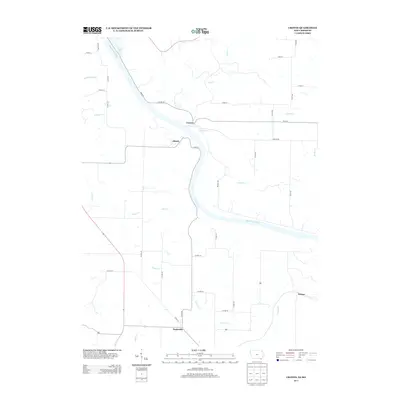
2013 Map of Croton
USGS Topo · Published 2013About this map
The Des Moines River carves a diagonal path through this borderland, where the small settlements of Croton and Athens face one another across the water. This 2013 survey illustrates a quiet agricultural landscape defined by a network of drainage creeks and rural roads that connect local hubs like Peaksville in the south and Dumas in the southeast. The terrain is deeply etched by a complex series of waterways, including Cedar Cr and Lick Cr, which flow through the undulating countryside toward the primary river valley. The map details a sophisticated grid of county highways and local routes, such as Belfast Rd and Croton Rd, which have long served the farming communities and residents along the Iowa and Missouri state line.
Find a feature on this map
41 named features on this map. Tap any name to fly to it.
Don’t see what you’re looking for? This feature index may not catch every label — zoom into the map to look around manually.
Map Details
Editions of this 2013 Croton Map
This is the sole edition of this map. No revisions or reprints were ever made.
Other maps of this area

1903 · Kahoka
USGS Topo · 1:125,000

1949 · Wayland
USGS Topo · 1:24,000

1949 · Kahoka
USGS Topo · 1:24,000

1950 · Kahoka
USGS Topo · 1:24,000

1950 · Wayland
USGS Topo · 1:24,000

1950 · Medill
USGS Topo · 1:24,000

1951 · Medill
USGS Topo · 1:24,000

1958 · Burlington
USGS Topo · 1:250,000

1961 · Burlington
USGS Topo · 1:250,000

1963 · Burlington
USGS Topo · 1:250,000