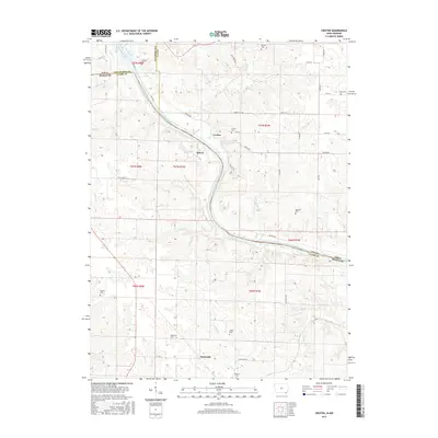
2015 Map of Croton
USGS Topo · Published 2015About this map
The Des Moines River forms the primary geographic and political boundary on this map, separating Lee and Van Buren Counties in Iowa from Clark County, Missouri. Along its winding course, the small river settlements of Athens and Croton represent the quiet rural character of this borderland. The landscape is heavily marked by local family and pioneer history, with numerous burial sites scattered across the township lines, including Croton Cem, Salubria Cem, and Pioneer Cem. Farther south into Missouri, the settlement of Peaksville sits near Dumas Cr and Wade Br. The terrain is defined by the drainage network of the river, with prominent tributaries like Lick Cr and Crooked Cr cutting through the countryside. This survey captures the region's enduring agricultural layout, connected by a network of gravel and paved routes such as Croton Rd and Belfast Rd.
Find a feature on this map
47 named features on this map. Tap any name to fly to it.
Don’t see what you’re looking for? This feature index may not catch every label — zoom into the map to look around manually.
Map Details
Editions of this 2015 Croton Map
This is the sole edition of this map. No revisions or reprints were ever made.
Other maps of this area

1903 · Kahoka
USGS Topo · 1:125,000

1949 · Wayland
USGS Topo · 1:24,000

1949 · Kahoka
USGS Topo · 1:24,000

1950 · Kahoka
USGS Topo · 1:24,000

1950 · Wayland
USGS Topo · 1:24,000

1950 · Medill
USGS Topo · 1:24,000

1951 · Medill
USGS Topo · 1:24,000

1958 · Burlington
USGS Topo · 1:250,000

1961 · Burlington
USGS Topo · 1:250,000

1963 · Burlington
USGS Topo · 1:250,000