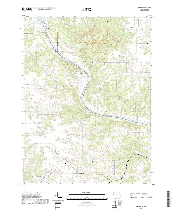
2022 Map of Croton
USGS Topo · Published 2022About this map
The Des Moines River carves a winding path through this borderland, separating Lee County, Iowa, from Clark County, Missouri. The map centers on the small riverside settlements of Croton and Athens, locations that hold significant historical weight as the site of northernmost battles during the Civil War. While the map reflects modern topography, the placement of numerous family and community burial grounds like Salubria Cem, Pioneer Cem, and Walker Cem provides a clear genealogical framework of early rural settlement.
Find a feature on this map
53 named features on this map. Tap any name to fly to it.
Don’t see what you’re looking for? This feature index may not catch every label — zoom into the map to look around manually.
Map Details
Editions of this 2022 Croton Map
This is the sole edition of this map. No revisions or reprints were ever made.
Other maps of this area

1903 · Kahoka
USGS Topo · 1:125,000

1949 · Wayland
USGS Topo · 1:24,000

1949 · Kahoka
USGS Topo · 1:24,000

1950 · Kahoka
USGS Topo · 1:24,000

1950 · Wayland
USGS Topo · 1:24,000

1950 · Medill
USGS Topo · 1:24,000

1951 · Medill
USGS Topo · 1:24,000

1958 · Burlington
USGS Topo · 1:250,000

1961 · Burlington
USGS Topo · 1:250,000

1963 · Burlington
USGS Topo · 1:250,000